Published on
Jun 6, 2025
Satellite Data Capturing Burned Acres Show Canada Wildfire Season off to Wild Start
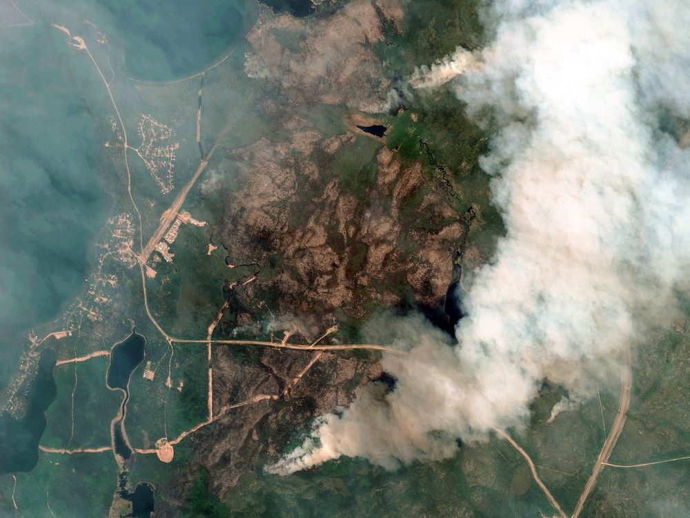
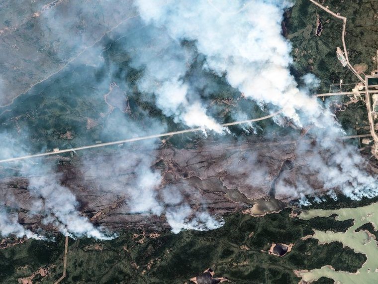
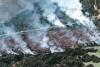
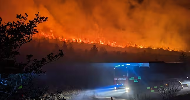
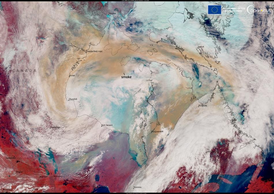
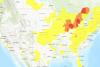
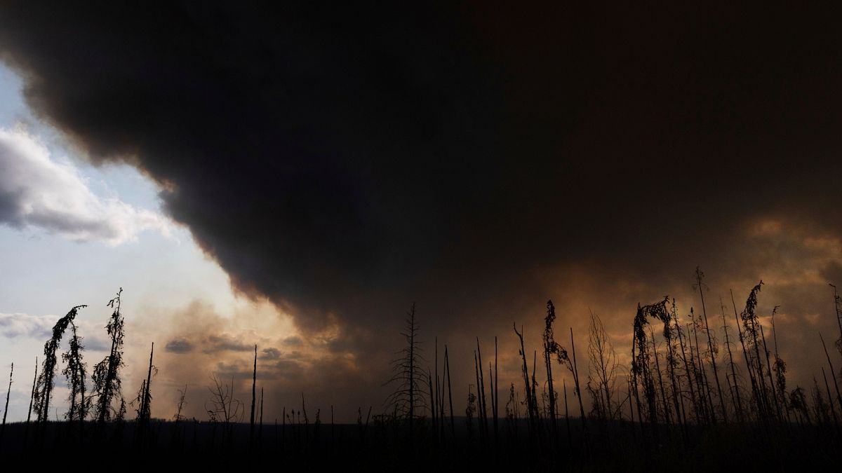
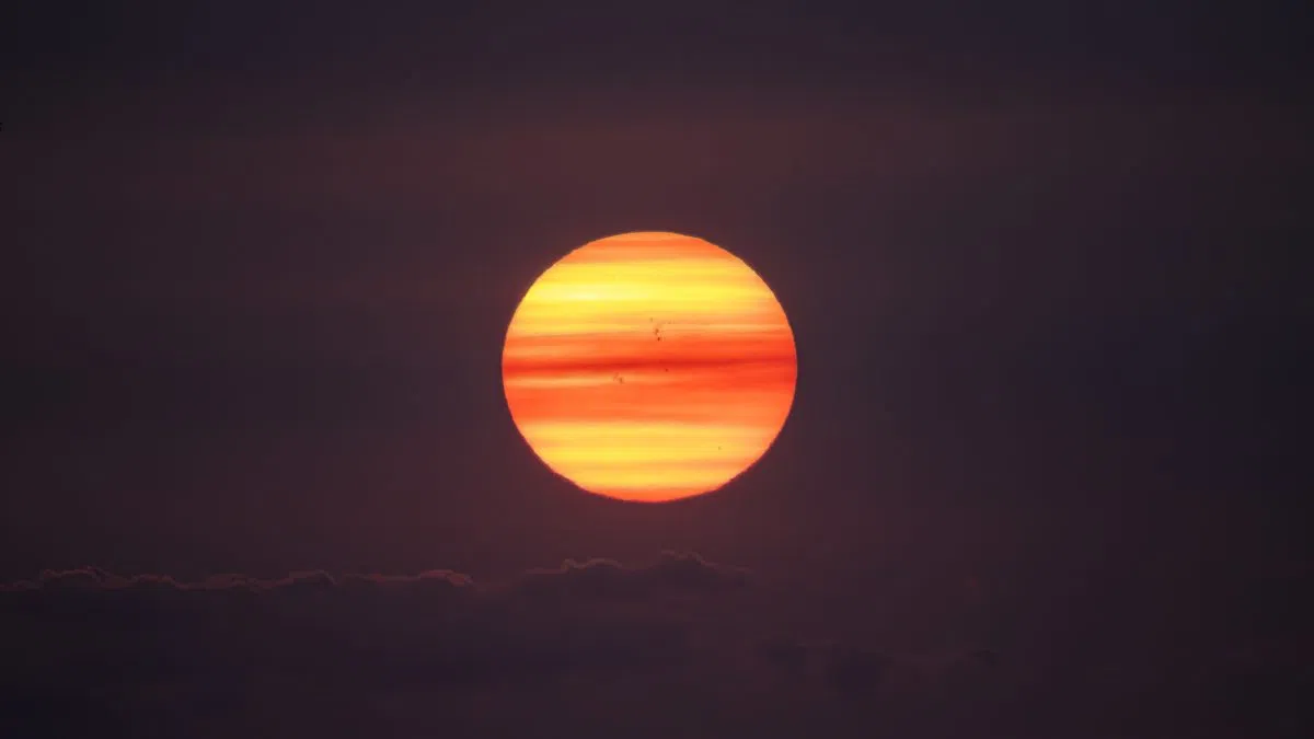
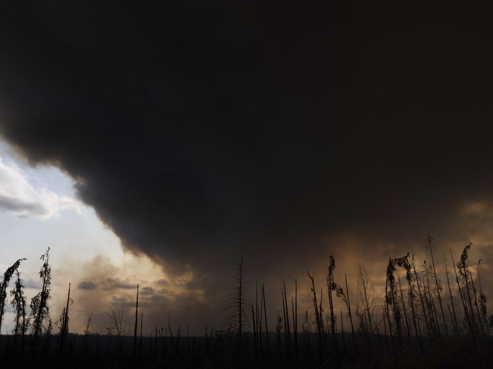
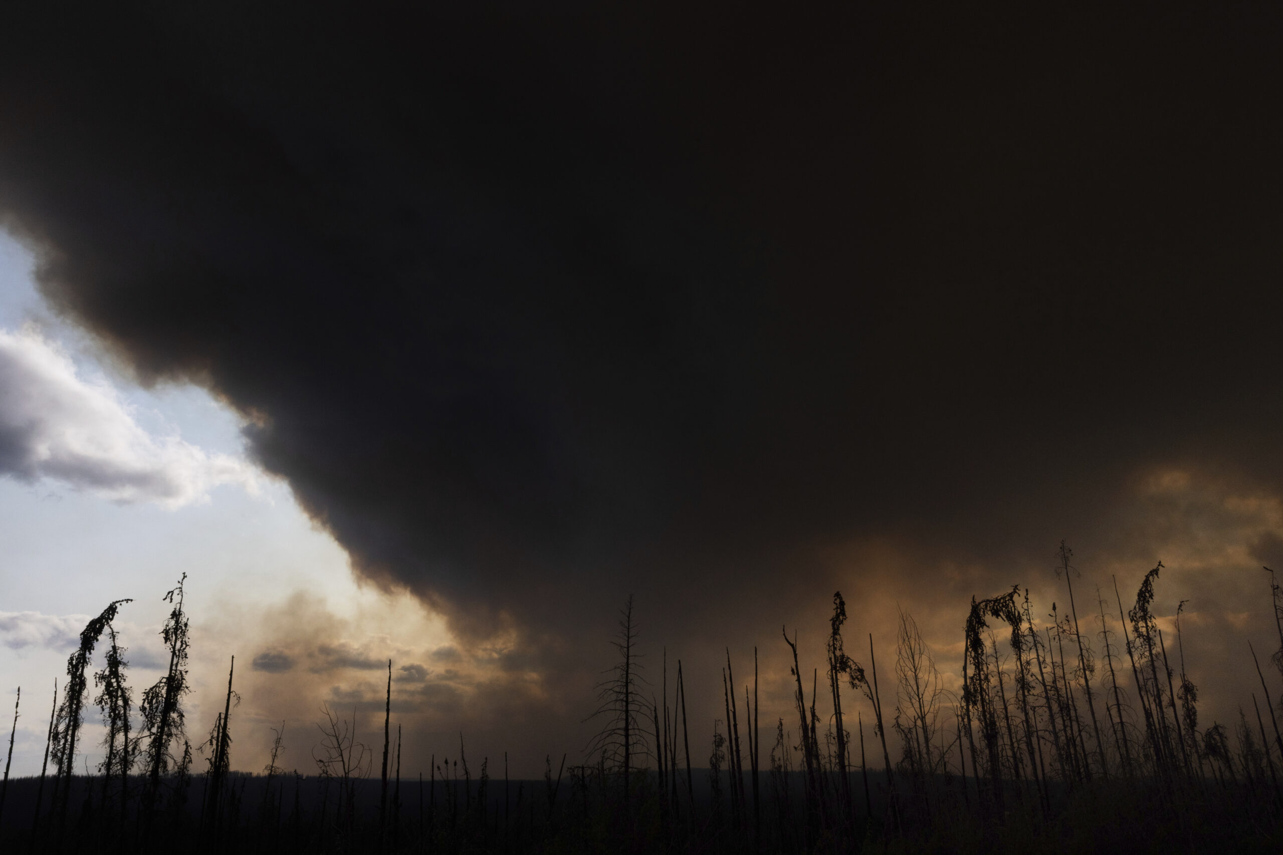
Such is the case with two graphics, powered by satellite data, that showcase a Canadian wildfire season off to a wild — and scary — start. Twice a day a NASA satellite sends images to the ground, giving a real-time view of where fires are burning. This is …
Source:
Insurance Journal
-
Neutral