Published on
May 21, 2024
- 03:57 GMT
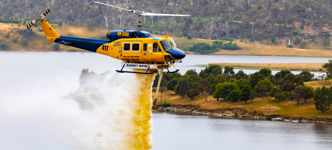
Satellite imagery to help aerial firefighters find usable watersources
Upgraded Digital Earth Australia (DEA) Waterbodies to form part of new decision support tools. A continent-wide image of Australia overlayed with approximately 300,000 waterbodies of the DEA Waterbodies product. Thick blue outlines indicate areas where …
Distribution channels: